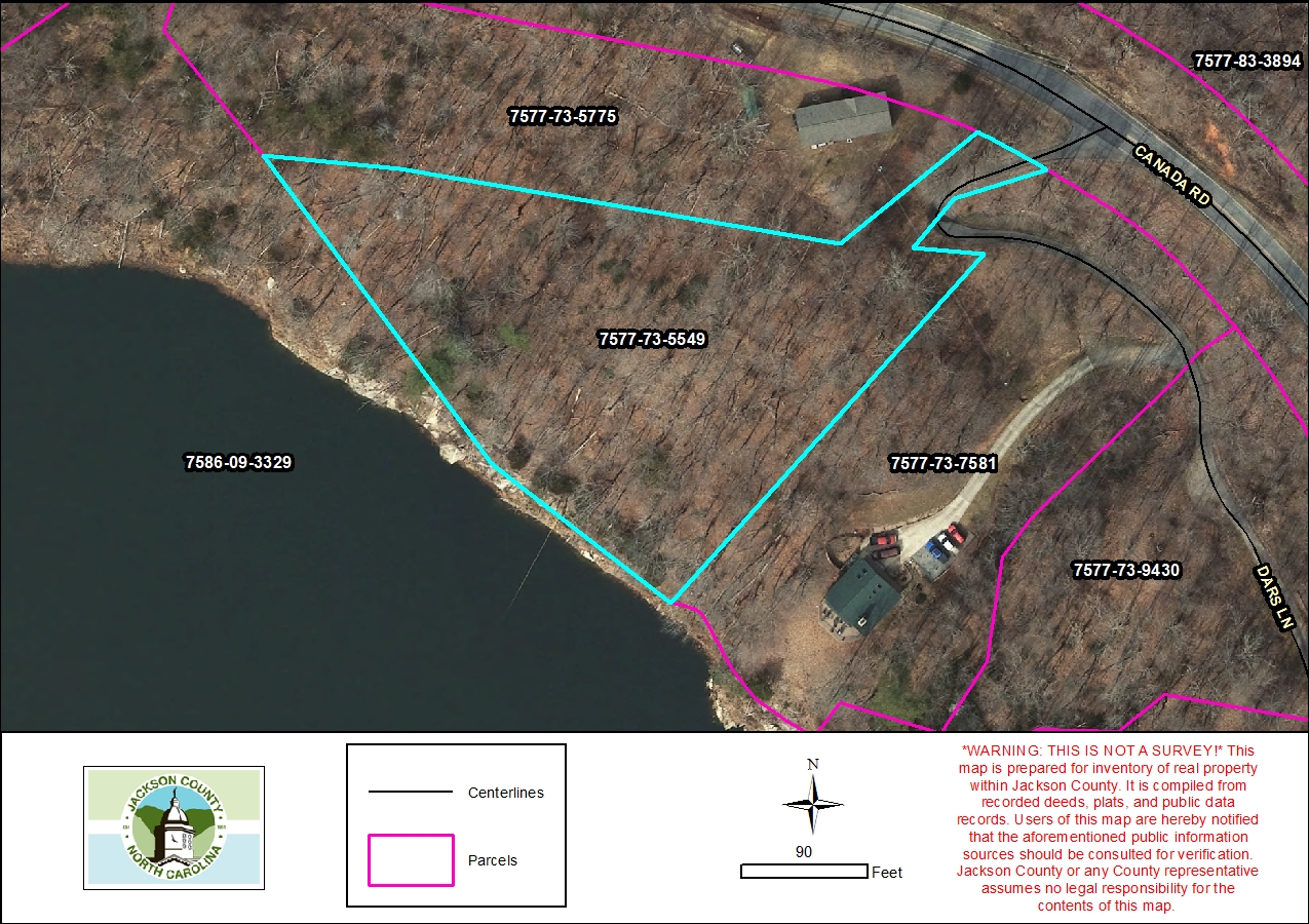
Parcel Report
Property Report for 7577-73-5549
Parcel Information
- Parcel ID: 7577-73-5549
- Parcel Address: LT 10 DARS LN
- Neighborhood Name: Cedar Cliff Lake
- Property Description: LT 10 CEDAR SHORES
- Sale Date: 1996-05-22
- Sale Price: $0
- Plat Reference: 16/529
- Transferring Reference: 920/492
- Township: RIVER
- Assessed Acres: 1.9
Ownership Information
- Owner Name #1: MATHIS, L V
- Owner Name #2: MATHIS, MARY
- Mailing Address 1: PO BOX 125
- Mailing Address 2: None
- City/State/Zip: TUCKASEGEE NC 28783
- Owner Account: 8917
Tax/Value Information
- Fire District: CULLOWHEE 5 MI
- Building Value: $0
- Land Value: $150,000
- Assessed Total Value: $150,000
Zoning Information
- Zoning District: None
- Zoning Area: None