Parcel Report
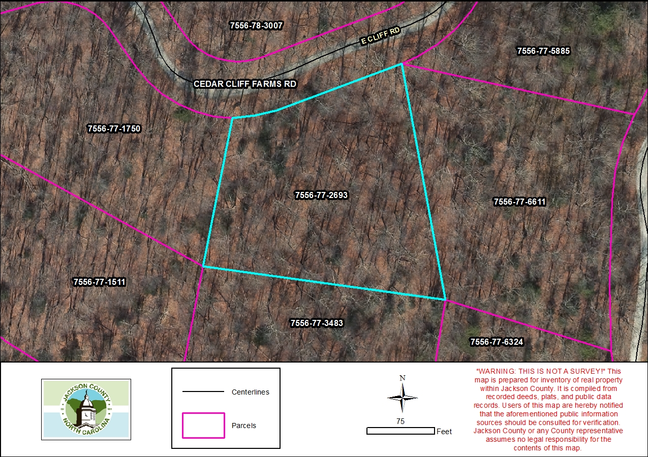
Property Report for 7556-77-2693
Parcel Information
- Parcel ID: 7556-77-2693
- Parcel Address: LT 11 E CLIFF RD
- Neighborhood Name: Cedar Cliff Farm
- Property Description: LT 11 CEDAR CLIFF FARMS
- Sale Date: 1983-11-14
- Sale Price: $0
- Plat Reference: 1/335
- Transferring Reference: 569/507
- Township: MOUNTAIN
- Assessed Acres: 1.1
Ownership Information
- Owner Name #1: MIGDAL, MARC
- Owner Name #2: None
- Mailing Address 1: 9115 MORGAN GLENN DR
- Mailing Address 2: None
- City/State/Zip: MINT HILL NC 28227
- Owner Account: 22378
Tax/Value Information
- Fire District: CULLOWHEE PC 10
- Building Value: $0
- Land Value: $11,110
- Assessed Total Value: $11,110
Zoning Information
- Zoning District: None
- Zoning Area: None