Parcel Report
Property Report for 7529-50-7793
Parcel Information
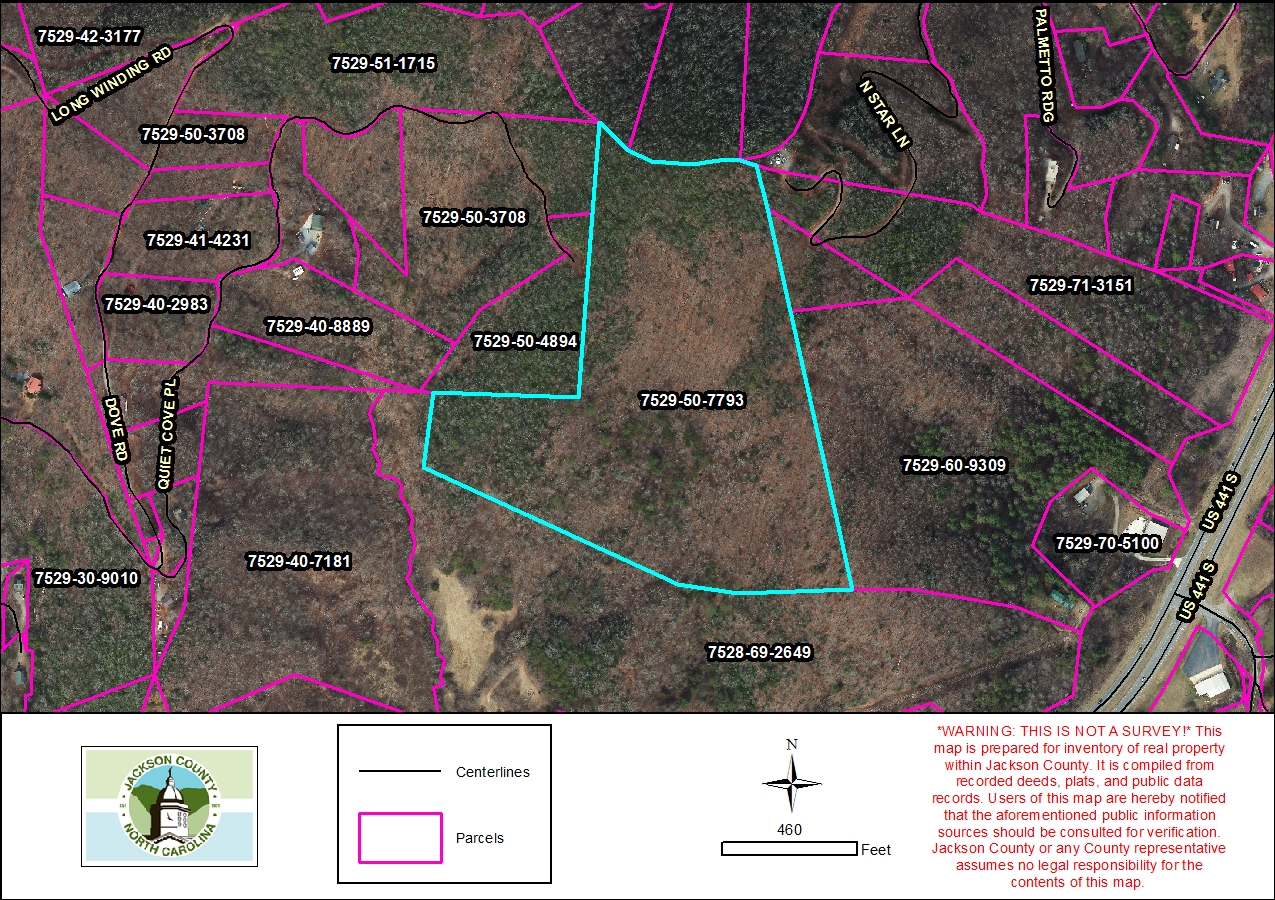
- Parcel ID: 7529-50-7793
- Parcel Address: US 441 S
- Neighborhood Name: Savannah
- Property Description: US 441 S
- Sale Date: 2024-02-07
- Sale Price: $36,500
- Plat Reference: 25/968
- Transferring Reference: 2371/1541
- Township: SAVANNAH
- Assessed Acres: 29.1
Ownership Information
- Owner Name #1: COX, JACOB
- Owner Name #2: None
- Mailing Address 1: 1005 MONTEITH BRANCH RD
- Mailing Address 2: None
- City/State/Zip: SYLVA NC 28779
- Owner Account: 195285
Tax/Value Information
- Fire District: SAVANNAH 5 MI
- Building Value: $0
- Land Value: $259,720
- Assessed Total Value: $259,720
Zoning Information
- Zoning District: None
- Zoning Area: None